You are using an out of date browser. It may not display this or other websites correctly.
You should upgrade or use an alternative browser.
You should upgrade or use an alternative browser.
***Official Weather Thread***
- Thread starter ADS
- Start date

ADS
New member
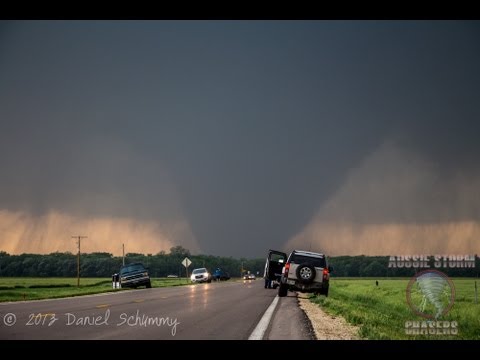
NWS Tulsa @NWStulsaSeeing reports of light tornado debris falling in the Tulsa metro area again this evening, likely from the Moore area
EbylHusker
Banned
The wall cloud rotating isn't a big deal there - it's what they do when they spawn tornadoes.
ADS
New member
I've never seen an entire storm rotate like that, it's normally just the meso-cyclone that rotates making the tornado.The wall cloud rotating isn't a big deal there - it's what they do when they spawn tornadoes.
EbylHusker
Banned
A rotating wall cloud is a visual indication of the larger mesocyclone. Storms as a whole will experience rotation, but the wall cloud is not the entire storm, for starters. It's the visual indication of the updraft area rotating, which is why tornados often spawn from rotating wall clouds. Non rotating wall clouds are not exhibiting surface rotation, so the updraft causing it is experiencing no significant rotation - meaning there isn't nearly as high of a chance of tornadoes spawning from it. Storm spotters will pay attention to wall clouds because they indicate significant updraft (necessary for tornadoes), but they do not pose a significant threat to spawn a tornado. They are really watching for rotation to be induced into the wall cloud (if one is present).
EbylHusker
Banned
Keep in mind that is time lapse, so you're seeing a far greater rate of rotation in it than you would in a normal video. But there is no question that a more violently rotating wall cloud would indicate a similarly violent rotation of the mesocyclone, and that would increase the chances of any tornadoes coming from it being very powerful. So considering how quickly the cell grew and dropped what increased to a monster tornado, it makes sense.
ZRod
Active member
Doubt it. Summer hits and it'll probably be prime kindling again. I feel like the greater Denver area has had wild fire issues the last 5 or more years.It's pretty rainy here in Fort Collins. That's a good thing. Maybe there won't be any fires this summer.
GSG
New member
True. Maybe "less" fires would be more appropriateDoubt it. Summer hits and it'll probably be prime kindling again. I feel like the greater Denver area has had wild fire issues the last 5 or more years.It's pretty rainy here in Fort Collins. That's a good thing. Maybe there won't be any fires this summer.
")
RedRedJarvisRedwine
New member
The Midwest is bracing itself today and tomorrow. Not a matter of if but where and when!
RedRedJarvisRedwine
New member
From everything I've been told or seen, this could be a long day/night of watching the radar!
ADS
New member
For Lincoln, it will be tonight and tomorrow.From everything I've been told or seen, this could be a long day/night of watching the radar!